Page 28 of 61 FirstFirst ... 18262728293038 ... LastLast
Results 541 to 560 of 1202
  1. #541
    When I first installed AutoChart PC, it had a "default" map...
    But after playing with the settings, importing some maps from Google Earth and other things, when I first start up the software I only see a blank white screen...
    If I move my mouse cursor around I can tell it is displaying "something" as the coordinates change.. and if I go to waypoint manager, select a waypoint and then choose "map here" it brings me to that waypoint, but still a "blank" screen until I select a background map...

    Anyone know how to get it back to the default load screen of a map rather then a blank screen??
    Thanks in advance!!

  2. Member
    Join Date
    Mar 2016
    Location
    minnesota
    Posts
    2
    #542
    Make sure your zero line card is in the sd drive. It also could be a problem with your driver. I had the same thing and found that I couldn't look at google earth. I got the newest windows update and that solved the problem

  3. #543
    Interesting on the "zero line card" theory.. I'm trying to help my cousin with the software program... he bought a new Onix 10 and we plan on mapping a unknown lake next week in Canada so I was trying to learn my way around the program but he has the card at his house.. Guess we will find out all about it in a couple of weeks when we have data to play with :)

  4. Member
    Join Date
    May 2016
    Location
    ROMANIA
    Posts
    1
    #544
    Hi.
    Can somebody help me to buy a correct Autochart pro verion for eastern EUROPE?
    Best Regards
    BOGDAN

  5. Member Wayne P.'s Avatar
    Join Date
    Jan 2010
    Location
    Charlottesville, VA
    Posts
    31,821
    #545
    Quote Originally Posted by bogdan.andries2010 View Post
    Hi.
    Can somebody help me to buy a correct Autochart pro verion for eastern EUROPE?
    Best Regards
    BOGDAN

    https://www.scubastore.com/scuba-div...d/11210-338/sm
    Wayne Purdum
    Charlottesville, Va.
    Helix 12 MEGA SI+ G4N, Helix 15 MEGA SI+ GPS G4N
    SOLIX 12 SI/G3, Helix 8 MEGA SI+ G4N, Ultrex 80/Advanced, MEGA360,
    MEGA LIVE, LIVE TL, MEGA LIVE 2, Xplore 10

  6. Member
    Join Date
    Jul 2008
    Location
    Phoenix, AZ
    Posts
    518
    #546
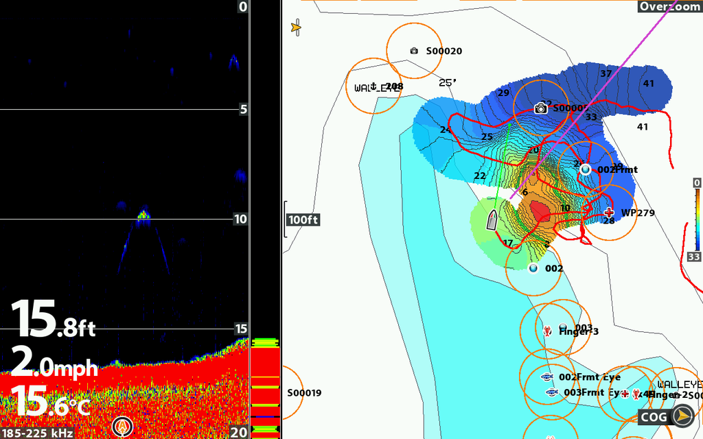
    Helix 10 SI ... tried generating a map for first time. Navionics map in right slot, 32 GB SD card in left. Turned on sonar recorder, then turned on autochart live recorder. Made a couple of passes over an area. Turned off both recorders. I expected to instantly see autochart live data overlayed on the Navionics, but only saw the usual track line. Once home I imported the SD card data to autochart pro. I was able to generate color depth and color bottom hardness plots using the collected data.

    Questions:
    1. Why can't I see autochart live data real time? Presumably it is stored on the unit and I can still call it up as an overlay?
    2. Bottom hardness scale goes from 0-100. Which end of the scale would be mud and which end would be rock?

    Thanks for helping newbee.

  7. Member
    Join Date
    Jul 2008
    Location
    Phoenix, AZ
    Posts
    518
    #547
    A bit more information ...

    I created a map from the sonar data I collected and then loaded the map on the ZLC. Put ZLC into Helix 10. At that point I got a message that the AC Live internal data was loaded on the ZLC. If I select AC as the base map and overlay then I can see the map I generated. But, I want Navionics or Lakemaster as the basemap, with the map I generated as the overlay. Can't figure out how to do that. If I select Nav or LM as base map, then I will only see my track, but not the map data I created.

    I confirmed by looking at the SD card that AC Live data was generated, and I brought it into AC Pro and plotted it. But strange I could not see AC Live generating data on the Helix while I was recording.

  8. Bringer Of The 'Bird sfw1960's Avatar
    Join Date
    Mar 2010
    Location
    White Cloud, MI
    Posts
    3,881
    #548

    Question

    I was just using my built in Contour XD today - since this is also Navionics data, it should work IMO...


    Maybe next trip I'll fiddle with a LM card.

    Robert
    Newaygo CTY, MI
    Helix12MSI G2N v1.84/Helix10MSI G2N v1.84/Helix10MDI G2N v1.84/ASGPSHSx2/iPilotLinkv2.15/2.04RC-1+2/


  9. Member
    Join Date
    Jul 2008
    Location
    Phoenix, AZ
    Posts
    518
    #549
    test

  10. Member
    Join Date
    Mar 2016
    Location
    Canada
    Posts
    19
    #550
    So I do some auto charting on the helix 10 and I upload the data to the computer when I get home but the times are all wrong. I'm not sure what time zone to be on. I live in Saskatchewan Canada. We are in the central zone and don't have time change hear either. Thanks.

  11. Member
    Join Date
    Jun 2016
    Location
    MN
    Posts
    45
    #551
    Quote Originally Posted by Doug Vahrenberg View Post
    You need to set the unit to read the Auto Chart LIVE Data for it to display on the 859. Just inserting it will not read until you turn on that layer.
    I have a 859HD on the bow and a new Helix 10 at the console with (2) Zero Line cards. Will the 899 core unit read the AutoChart Live maps without using the AutoChart PC program? I was told it would by a HB rep at a Sports Show however when I made an AutoChart Live map on my Helix the map did not show up on the 859 when I switched the cards. I don't see the same options or a "layer" as Doug mentioned in the 859 as I do when I use my maps created with the PC program.

    Sorry if this information has been discussed however after a few hours of research I cant find a definite answer.

  12. Member
    Join Date
    Aug 2009
    Location
    Westville, KZN, South Africa
    Posts
    737
    #552
    Has anybody tried the Image Layers feature?

  13. Member
    Join Date
    Feb 2006
    Location
    Osakis, MN
    Posts
    227
    #553
    Hi John, I have with some aerial images of a dry lake and it worked well.
    Doctor Sonar®
    Go Fishing, the Clock is Ticking

  14. Member
    Join Date
    Aug 2009
    Location
    Westville, KZN, South Africa
    Posts
    737
    #554
    Thanks Doc,

    I see you can only load a single image and limited to 4 layers, this is useless for anything more than a medium sized pond if you want HD imagery.

  15. Member
    Join Date
    Jul 2016
    Location
    Texas baby
    Posts
    8
    #555
    Can someone guide me how to make my own background layer from google maps or google earth and make it a layer on my Autochart SD-card? And how to make a calibration file to that layer?

  16. Member
    Join Date
    Aug 2016
    Location
    Chesterfield, New Jersey
    Posts
    3
    #556
    So I've been looking at a variety of posts on here for help for my helix 9 autochart live issue.
    I purchased this unit about a month ago and started to record. I installed the zero line card from day one and when I reached the 8 hour mark... It seems the data was wiped clean. The card is not locked and I tried both slots. I'm trying to figure out if the fact that I didn't hit stop recording is the issue? I can see the data I started to collect after I got to the 8 hr mark but now the older data I had "recorded" isn't showing up. I do not have autochart pc. I was just trying to view the data on the unit.
    The unit is set to save to the sd slot the zero lines card is in also not internal.
    Is the main issue that I didn't hit stop recording?
    This has happened twice now and is getting old quick!
    Thanks in advance
    karl

  17. Member
    Join Date
    Feb 2006
    Location
    Osakis, MN
    Posts
    227
    #557
    I turned off my ONIX without stopping the live recording and lost the data once. I always stop recording before I turn off the unit since then so I don't know if it always loses the data if you don't stop recording.
    Doctor Sonar®
    Go Fishing, the Clock is Ticking

  18. Member
    Join Date
    Aug 2016
    Location
    Chesterfield, New Jersey
    Posts
    3
    #558
    Ok Doc, I'll give the stop recording a shot.
    On a second note, once I start and stop recording for a bit of time on the water. The unit should creat a file for the information recorded on the sd card. That data "file" should have a time stamp for the day I recorded, correct??
    So I could look to see if the data is being collected and saved properly on the sd card?

  19. Member Wayne P.'s Avatar
    Join Date
    Jan 2010
    Location
    Charlottesville, VA
    Posts
    31,821
    #559
    Quote Originally Posted by Kbraun2016 View Post
    Ok Doc, I'll give the stop recording a shot.
    On a second note, once I start and stop recording for a bit of time on the water. The unit should creat a file for the information recorded on the sd card. That data "file" should have a time stamp for the day I recorded, correct??
    So I could look to see if the data is being collected and saved properly on the sd card?
    If you are going to have the Zero Line card in the unit when you are doing Auto Chart Live, send the data to the Zero Line Card directly. There would be no 8 hour limit involved and no file transfer needed since no data would be in the unit's memory.
    Wayne Purdum
    Charlottesville, Va.
    Helix 12 MEGA SI+ G4N, Helix 15 MEGA SI+ GPS G4N
    SOLIX 12 SI/G3, Helix 8 MEGA SI+ G4N, Ultrex 80/Advanced, MEGA360,
    MEGA LIVE, LIVE TL, MEGA LIVE 2, Xplore 10

  20. Member
    Join Date
    Feb 2006
    Location
    Osakis, MN
    Posts
    227
    #560
    Quote Originally Posted by Kbraun2016 View Post
    Ok Doc, I'll give the stop recording a shot.
    On a second note, once I start and stop recording for a bit of time on the water. The unit should creat a file for the information recorded on the sd card. That data "file" should have a time stamp for the day I recorded, correct??
    So I could look to see if the data is being collected and saved properly on the sd card?
    yes each file is named by date.
    Doctor Sonar®
    Go Fishing, the Clock is Ticking

Page 28 of 61 FirstFirst ... 18262728293038 ... LastLast